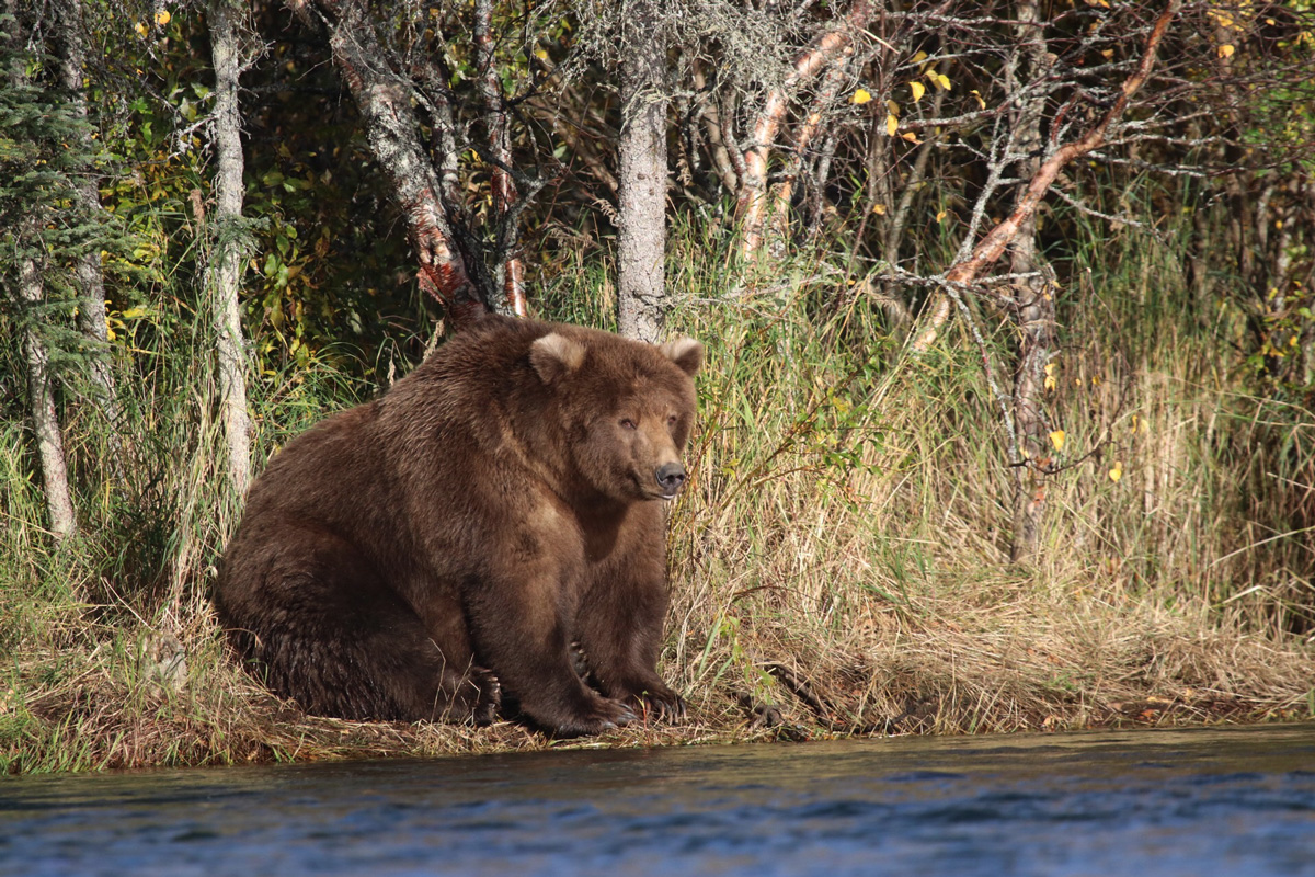
The idea came to Cusick, who works for the National Park Service in Alaska, in 2018, while he was working on mapping and surveying at Katmai. A terrestrial lidar scanner, which uses lasers to determine distance and other measurements, was on hand to measure buildings. That’s the device traditional civil engineers use, but when Cusick wandered down to Brooks Falls and stood on a viewing platform 300 feet away from the bears, inspiration hit. He thought: Why not use the scanner to measure a bear’s surface volume instead?
Very neat idea.